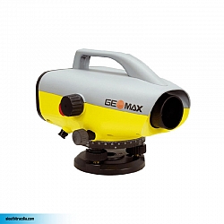
Máy thủy bình điện tử Leica DNA10
(2 lượt bình chọn)Đăng ký báo giá
Chúng tôi sẽ liên hệ lại Quý khách sớm nhất, giá tốt nhất.
Sản phẩm cùng thương hiệu
Chi tiết sản phẩm Máy thủy bình điện tử Leica DNA10
3. Độ chính xác
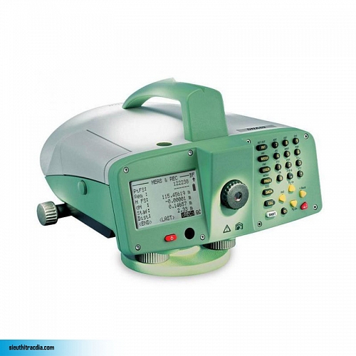
The Leica DNA10 is a high precision digital level developed for civil engineering work and high accuracy leveling work. You may discover a whole new world of advantages which facilitate your daily work and save your time.
The Leica DNA10 digital level measures, saves the height and the distance to the staff at the press of a single button. The advantage from a digital level are no optical readings are required, no copying or writing down and no calculation by hand.
The new “Meas & Rec” function lets you easily measure and record height differences, while the line levelling applications program guides you securely through the different possibilities of measuring whole level lines.
Compare the closing height quickly with a known point using “Quick-Closure”, or use the complete onboard Line- Adjustment to erase errors – whatever your task may be, experience the advantages of the Leica DNA digital levels.
The second generation of digital levels by Leica, the inventors of the first digital level, with modern and ergonomic design, large LC-display, cutting edge electronic technology, excellent optical and mechanical systems.
Experience shows that with Leica digital levels there is up to a 50% time saving when compared with conventional levels. The main reasons are the faster data capture as well as the shorter time and safer means of data processing, thanks to saving measured data on storage devices.
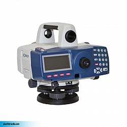
The generous LC-display presents all important measured data at a glance and shows the next step to take.
Double your data safety: from now on, save your work automatically in the internal memory and additionally, after the measurements have been taken, on a PCMCIA card.
The alphanumeric keyboard and the operating concept provide the highest levels of efficiency at work, optimum comfort and rapid familiarization.
The Leica Geo Office Tools is a program included in the delivery. It controls data exchange, the configuration of the instrument, creates code lists and stake out height lists and maintains the system software.
The level processing option of Leica Geo Office processes your levelling data in a professional manner. The optional program contains functions such as line calculation, adjustment and the creation of reports. The data and results are managed in a data base.










Vui lòng thực hiện các vấn đề dưới đây: